
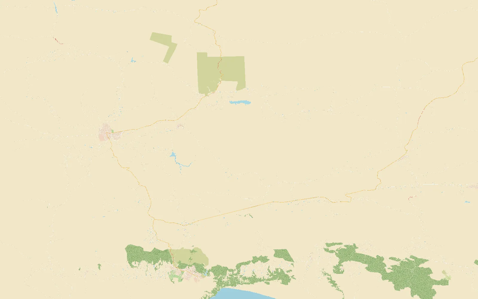
 1Oudtshoorn2Uniondale3De Rust4The Cango Caves5An ostrich farm6Meiringspoort Falls7Die Top8Prince Alfred's Pass, 1032 m
The Karoo
Over the mountains, where it snows on the passes
Map data © OpenStreetMap contributors
4Right 4, opensAbout the place
About The Karoo
North over the Outeniqua mountains the Garden Route's green gives way to the Klein Karoo: dry, wide and red, with ostriches, caves and small towns far apart.
Its roads are the big passes: Prince Alfred's and the Swartberg on gravel, the Outeniqua on tar, and Meiringspoort through its gorge. The Swartberg's summit is often snowed shut in winter.
- Roads
- 5
- Road to drive
- 27 km
- Gravel
- 11 km
- Highest point
- 1 566 m
- Places to see
- 8
3Left 3, keep inPlaces to see
Places to see in The Karoo
- 1
Oudtshoorn
The ostrich capital of the world, and the Karoo's biggest town.
- 2
Uniondale
A little Karoo town at the top of Prince Alfred's Pass, with a story the locals tell on rainy nights.
- 3
De Rust
- 4
The Cango Caves
Limestone halls deep under the Swartberg foothills.
- 5
An ostrich farm
- 6
Meiringspoort Falls
A waterfall a short walk from the road through the gorge. They say something lives in the pool.
- 7
Die Top
The Swartberg Pass's summit, 1585 m up. In winter it's often snowed shut.
- 8
Prince Alfred's Pass, 1032 m
The old pass's highest point, between Knysna's forest and the Karoo.
5Right 5, longWhere you drive
The roads
Meiringspoort
Through the gorge on the N12, back and forth across the river between red cliffs, past the waterfall.
The Outeniqua Pass
The N12 up out of George and over the Outeniqua mountains, the Karoo on the other side.
Prince Alfred's Pass
The old gravel pass north out of Knysna's forest, over the Outeniquas past the 1032 m lookout, towards Uniondale.
The Swartberg Pass
Up the switchbacks to Die Top, the summit, on gravel: in winter, packed snow and ice the higher it climbs.
The Uniondale Road
The N9 north out of Uniondale: long, straight and empty, the Karoo opening up. At night, in the rain, not quite empty.