
 1C.A.R.23The colony4The glacier5The old airstrip
Antarctica
Home: Coldshift Antarctic Research
Map data © OpenStreetMap contributors
4Right 4, opensAbout the place
About Antarctica
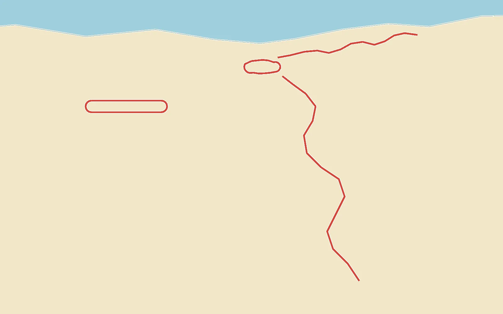
Where Slate and Pico grew up: the research station's red huts on the shore, the penguin colony along the beach and the glacier coming down to the bay.
Every road is snow and ice, from the station loop to the long run down off the glacier.
- Roads
- 2 + 2 closed
- Road to drive
- 11 km
- Surface
- Snow and ice
- Places to see
- 5
3Left 3, keep inPlaces to see
Places to see in Antarctica
- 1
C.A.R.
Coldshift Antarctic Research: the red huts, the mess, Flint's workshop, and the shore where everyone waved them off.
- 2
The radio mast
The station's mast, guyed against the wind. Pico used to climb it.
- 3
The colony
The penguin colony along the shore. Some of them remember Slate and Pico.
- 4
The glacier
Where the ice comes down off the plateau to the bay.
- 5
The old airstrip
The sea ice where the planes used to land: flat, white and endless.
5Right 5, longWhere you drive
The roads
The Colony Road
East from the station along the shore to the penguin colony: narrow, rocky, ice where the spray freezes.
Glacier Run
Down off the glacier to the bay: long, fast and sweeping, and it gets icier as it drops.
The Old Airstrip
Wide open sea ice where the planes used to land: room to slide, nothing to hit.
Station Loop
Round the huts and the radio mast at C.A.R.: packed snow, an icy corner by the mess. Gentle, to learn ice on.